
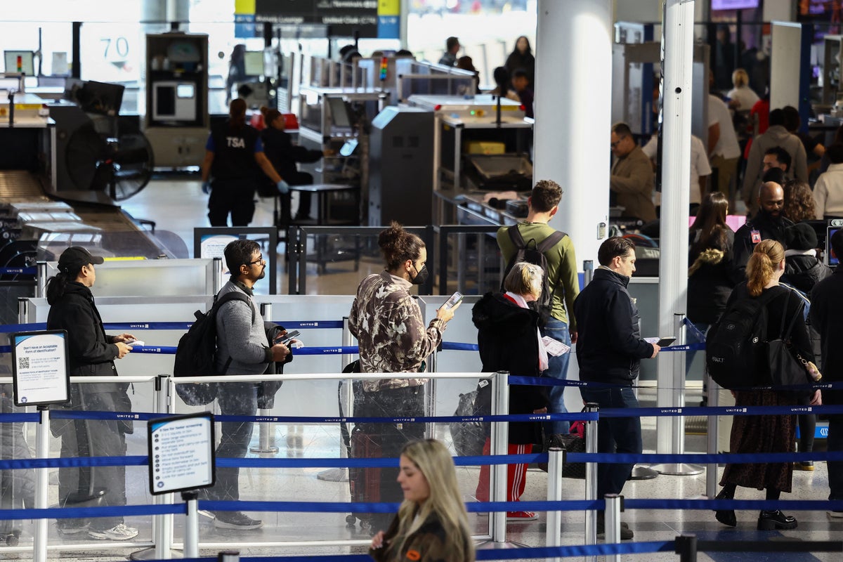
A late-season Atlantic storm forecasters are watching near the Southeast could impact travel ahead of the Thanksgiving holiday. There’s a 60 percent chance the cyclone could form to a tropical storm during the next week, according to the National Hurricane Center. It would likely become a subtropical or tropical storm as it moves north through the weekend. If it forms near Florida’s Space Coast on Saturday, it could lash the Carolinas with heavy rain and wind on Sunday and race up the East Coast into Monday, forecaster Ben Knoll wrote in The Washington Post on Thursday. That scenario has led to a warning from New York City’s emergency managers. “The main risk areas include Virginia, D.C., Maryland, Delaware, Pennsylvania, New Jersey, New York, Connecticut, Rhode Island, Massachusetts, Vermont, New Hampshire and Maine,” Knoll said. More than 81 million Americans are expected to travel for the holiday, starting early next week, according to the non-profit American Automobile Association. The busiest travel days of the year are coming. But meteorologists say a new tropical storm may be on the way, too (AFP/Getty)As there storm brews there is also potential that it pushes further offshore minimizing its impacts the U.S., Knoll noted.“Regardless of development, strong winds, dangerous surf, and coastal flooding are likely along portions of the southeast and mid-Atlantic coasts into early next week,” the National Hurricane Center wrote.If the storm forms, it would be known as Kyle, the season’s 11th named storm. Typically, there are 14 named Atlantic storms by November and 98 percent of landfalling named storms happen before this month, meteorologist Michael Lowry wrote in an Oct. 2024 Substack post.The area the National Hurricane Center is watching for the path of the potential tropical storm is shaded in orange (NHC)The El Niño of it allThere are just 10 days left till the typical end of what has been a largely inactive Atlantic hurricane season, thanks to this year’s super El Niño.While the system has cooled hurricane season, the climate pattern has made for stormier weather across the U.S., dumping record flooding on California and Florida on Wednesday.Eastern Florida’s St. John’s River hit a record level of over 18 feet due to water-laden storms, with up to a foot more expected through Friday, according to meteorologist Ginger Zee. It may stay that way through next week, according to the Weather Channel. Flash flood warnings were in effect across the state due to a rare atmospheric river.”Please avoid driving if at all possible,” Zee urged in a post on social media. Flooding in San Francisco was record-breaking on Wednesday afternoon, with downpours enhanced by warm ocean waters tied to an El Niño climate pattern (Getty)Thousands of miles away, atmospheric river flooding was also was happening in northern California. The San Francisco Bay Area saw record daily rainfall, with 2.28 inches falling by 3 p.m. - breaking a record set in 1918, the city’s National Weather Service office said on social media.The downpours were enhanced by warm ocean waters tied to El Niño, climatologist Daniel Swain said. Sea surface temperatures are shattering records for this time of year, leading to a higher chance of storms.Another storm could be aimed at the Bay Area next Wednesday, on the biggest travel day before Thanksgiving, according to Greg Porter, a meteorologist at the San Francisco Chronicle, and extremely high king tides are also expected next week.
A late tropical storm could impact Thanksgiving travel for some parts of the US
Full Article
Original Source
Read the full article at Independent →KhanList aggregates and links to publicly available news content. We do not host full articles from third-party sources. Always verify important information with original sources.