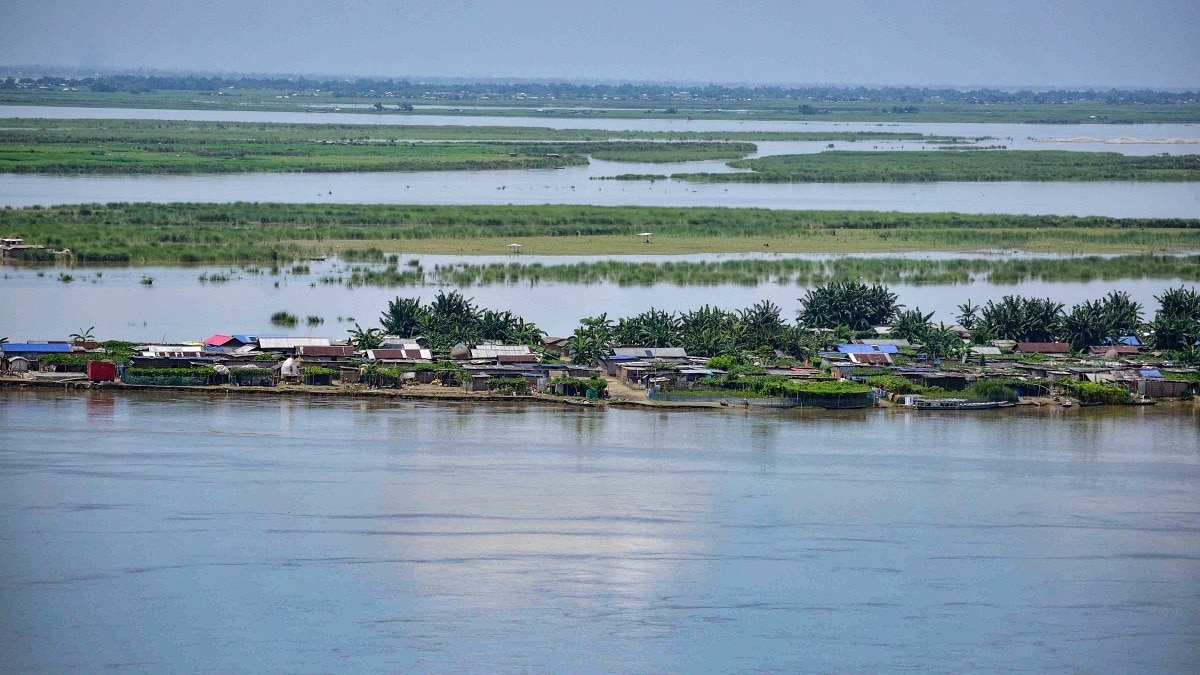
Assam's floods have killed 68 people and affected over 5.24 lakh residents. The annual devastation reflects the Brahmaputra valley's geography, heavy monsoon rain and rising environmental stress.A flood-affected area at Mayong, in Morigaon district, Assam, Friday, July 3, 2026. (PTI Photo)As Assam battles another season of devastating floods, the human toll continues to mount. This year's floods have claimed 68 lives, while more than 5.24 lakh people remain affected across five districts, with Charaideo emerging as the worst-hit.Hundreds of relief camps continue to shelter thousands of displaced residents.But why does Assam flood almost every year? The answer lies in a unique combination of geography, climate and the mighty Brahmaputra River.The relief ops by @IAF_MCC and our District Administrations continue in full swing in flood affected areas.As there are some dry patches now available due to water receding in some areas, the airdrops are now more targeted & benefitting larger number of people.#AssamFloods pic.twitter.com/6n6Ml2aGAC— Himanta Biswa Sarma (@himantabiswa) July 26, 2026A RIVER BORN IN THE HIMALAYASAt the heart of Assam's flood story is the Brahmaputra, one of the world's largest and most powerful rivers. Originating as the Yarlung Tsangpo in Tibet, the river flows eastward before taking a dramatic U-turn around the Himalayas near Namcha Barwa.It then enters Arunachal Pradesh as the Siang, gathers enormous volumes of water from mountain streams, and finally becomes the Brahmaputra as it enters Assam. By the time it reaches the Assam Valley, the river has already collected water from glaciers, snowmelt and intense rainfall across the eastern Himalayas, exponentially increasing its volume.A VALLEY TRAPPED BETWEEN MOUNTAINSAssam sits in a narrow valley surrounded by steep mountain ranges, the Eastern Himalayas to the north, the Patkai Hills and Naga Hills to the east and southeast, and the Meghalaya Plateau to the south. Locals carrying a bicycle and essential belongings wade through a chest-deep waterlogged road in a flood-affected area as they move to safer place after continuous heavy rainfall inundated villages, at Kopohuating in Golaghat district, Assam. (PTI Photo) During the southwest monsoon, moisture-laden winds from the Bay of Bengal are forced to rise over these mountains. As the air cools, it releases enormous amounts of rain in a process known as orographic rainfall.Much of this water rushes downhill through hundreds of tributaries, including the Subansiri, Manas, Jia Bharali, Dhansiri and Kopili, before emptying into the Brahmaputra.The result is a river system that swells rapidly during the monsoon.A RIVER CARRYING MOUNTAINSThe Brahmaputra is unlike most Indian rivers because it carries one of the highest sediment loads in the world.Young Himalayan mountains are constantly eroding, with landslides washing rocks, sand and silt into the river. As this sediment settles across the plains of Assam, the riverbed gradually rises, reducing its capacity to carry floodwaters.The Brahmaputra is also a braided river, constantly shifting channels and creating sandbars known as chars. These shifting channels make embankments difficult to maintain and increase the risk of breaches during high flows.The floods in Assam is worsening. Lakhs of people have been displaced and hundreds of bodies of humans and animals are flowing with the flood water.Pray for Assam pic.twitter.com/XTqM208Z1w— Sayantika (@SayantikaSays) July 26, 2026WHEN RAIN FALLS EVERYWHERE AT ONCEFlooding worsens because rainfall doesn't occur only in Assam.Heavy monsoon rain simultaneously falls over Tibet, Arunachal Pradesh, Bhutan and northeastern India, sending massive volumes of water downstream. When these flood peaks from multiple tributaries arrive together, the Brahmaputra can overflow across vast stretches of the valley.Scientists say climate change is increasing the intensity of extreme rainfall events across the eastern Himalayas. Short-duration cloudbursts, glacial melt and more frequent intense monsoon spells are increasing runoff into rivers.Rapid urbanisation, encroachment on wetlands, deforestation in upstream catchments and construction on natural floodplains have further reduced the landscape's ability to absorb excess water.CAN FLOODS BE PREVENTED?Experts say floods in Assam cannot be eliminated because they are part of the Brahmaputra's natural cycle.In fact, seasonal floods replenish fertile soils, sustain wetlands like Kaziranga National Park, and support agriculture and fisheries.The challenge is reducing their destructive impact through better flood forecasting, restoring wetlands that act as natural sponges, strengthening embankments where appropriate, improving drainage, and avoiding construction on floodplains.For Assam, floods are not simply a weather event, they are the result of a unique blend of geography and a river that crosses countries. The state sits at the meeting point of one of the world's mightiest rivers, some of its wettest mountains, and one of the most intense monsoon systems on Earth, making annual floods an almost inevitable part of life.- EndsPublished By: Sibu Kumar TripathiPublished On: Jul 27, 2026 13:48 IST
68 dead, over 5,00,000 affected: Why Assam faces deadly floods every year
Full Article
Original Source
Read the full article at Indiatoday →KhanList aggregates and links to publicly available news content. We do not host full articles from third-party sources. Always verify important information with original sources.